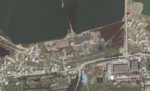
8.2.1 Base maps
Geo-referenced maps are available from various providers or from libraries included in several dedicated software (ARCrcGis, Vertical Mapper, among other).
Both can be calibrated in GPS coordinates if proper measurements are done (see 7.5.2).
The spatial representation of measured values on the map using size or color scale may allow a preliminary visualization and interpretation of contamination spatial distribution, as well as to verify the followed measurement pathways.
